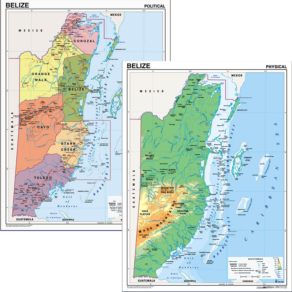
Maps
Our map collection includes a wide range of physical and political maps of Belize, as well as maps of Central America, the Caribbean, and the world. These maps highlight key geographical features such as rivers, mountains, reefs, and regions, alongside clearly defined borders, districts, and place names.
Designed for classroom use and general reference, the maps combine clarity, accuracy, and visual appeal to support geography learning, spatial awareness, and exploration. Suitable for schools, libraries, and homes, they provide reliable visual tools for understanding both the natural and human geography of Belize and the wider region.